Services

We bring environments to life
At Total Virtual 360, we transform how spaces and experiences are shared with the world. Using cutting-edge 360-degree imaging and drone technology, we deliver immersive, high-quality solutions tailored to your needs. Whether you're showcasing a property, capturing aerial perspectives, or mapping environments, our services engage audiences and deliver results.

Immersive Virtual Tours
Bring spaces to life with our immersive virtual tours, designed to captivate and engage. Perfect for real estate, museums, national parks, and hospitality, our tours offer an interactive way to explore locations from anywhere.
- 360° Interactive Walkthroughs: Powered by Matterport and Kuula and compatible with Google platforms, our walkthroughs let users navigate spaces seamlessly, with crystal-clear visuals and intuitive controls.
- Custom-Branded Virtual Tours: Elevate your brand with tailored tours featuring UI overlays, interactive hotspots, and storytelling elements to highlight key features or narratives.
- Guided Video Tours: Add a personal touch with voice-over or on-screen narration, guiding viewers through spaces in an engaging, informative way.
- AR/VR Integration Support: For museums and innovation-focused clients, we integrate tours with augmented and virtual reality platforms, creating next-level experiences.
Our virtual tours are ideal for real estate agents showcasing properties, museums preserving exhibits, or hospitality businesses inviting guests to explore venues before booking. Increase engagement, build trust, and drive interest with immersive storytelling.

Mapping & Surveillance Solutions
Our mapping and surveillance solutions deliver precision and reliability for Google Maps, councils, parks, and security teams. Using advanced drone and 360-degree technology, we provide actionable data and imagery for a variety of needs.
- Google Street View Mapping: Enhance Google Maps with high-quality, street-level imagery, improving visibility for businesses or public spaces.
- Perimeter & Site Surveillance: Secure sites with aerial monitoring, offering real-time insights for safety and security teams.
- Time-Lapse Monitoring: Document long-term projects with time-lapse footage, ideal for construction or environmental tracking.
- Documentation for Environmental & Heritage Sites: Preserve and monitor sensitive locations with detailed imagery and data, supporting conservation and compliance.
Our solutions empower councils to plan smarter, parks to monitor ecosystems, and security teams to maintain safety with accurate, up-to-date visuals.

Aerial Drone Imaging
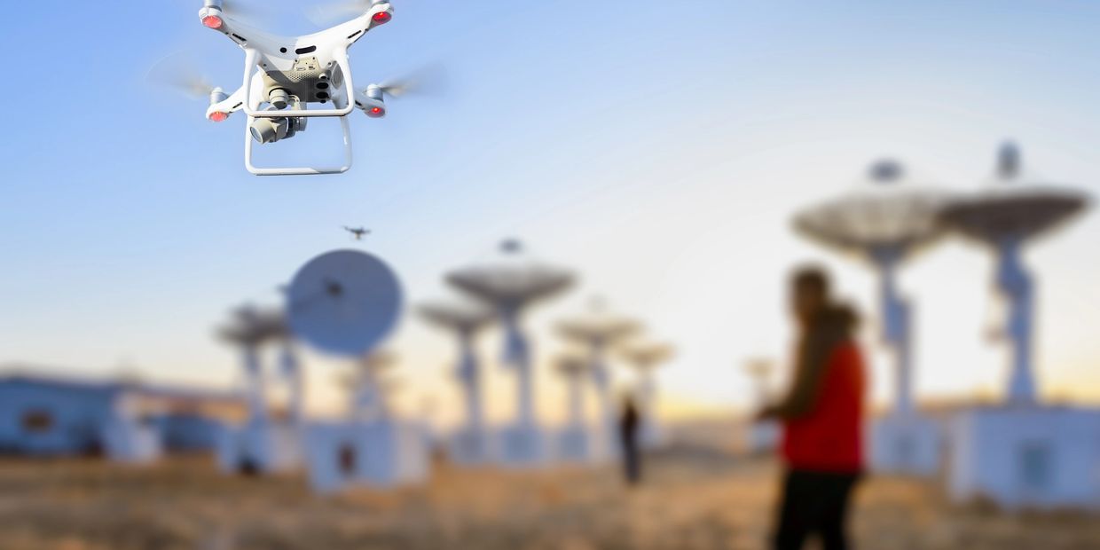
Capture breathtaking perspectives with our aerial drone imaging services, tailored for developers, governments, security teams, and tourism boards. Our high-resolution drone photography and videography deliver stunning visuals for a range of applications.
- Drone Photography & Videography: High-resolution imagery and video to showcase landscapes, properties, or infrastructure with unmatched clarity.
- Cinematic Promotional Footage: Create compelling promotional content for resorts, cities, or national parks, designed to attract visitors and investors.
- Construction Progress Monitoring: Track and document construction projects with regular aerial updates, providing clear insights for stakeholders.
- Aerial Surveys & Mapping: Generate detailed aerial maps for planning, development, or environmental monitoring.
- Event Aerial Coverage: Capture outdoor events like festivals or venue openings with dynamic drone footage, perfect for marketing or documentation.
From showcasing a resort’s coastline to monitoring large-scale construction, our drone services provide a unique perspective that enhances marketing, planning, and decision-making.
This website uses cookies.
We use cookies to analyze website traffic and optimize your website experience. By accepting our use of cookies, your data will be aggregated with all other user data.